OSM IMPORTER
Overview
The aim of this module is to import a road network from Open Street Map (OSM), clean it and convert it to Quetzal's road network format. The drawing of a polygon determines the zone for which the network will be imported. The different type of road displayed can be chosen aswell. The cycleway information can also be displayed at choice.
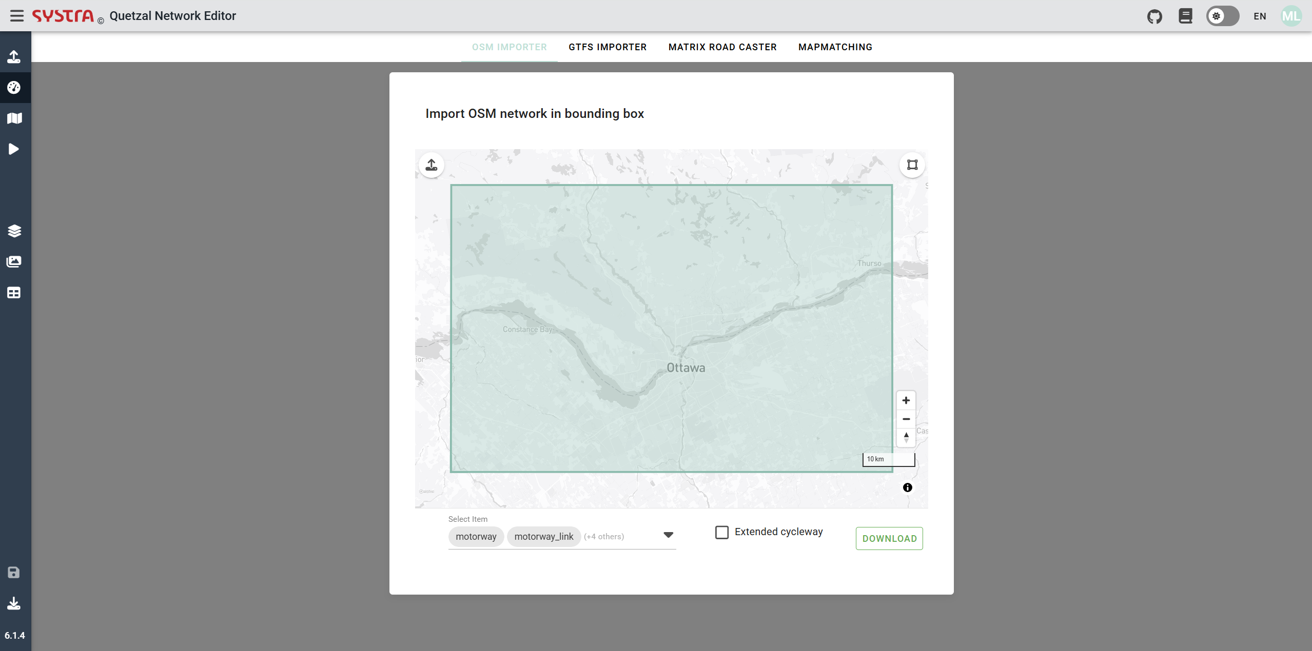
The road network that will be imported will be determined using a polygon.
Polygon
The preset polygon is a rectangle that varies in size depending on the level of zoom. If a polygon more specific is needed an option can be choose, for that we need to click on the icon shown in the next picture.
![]()
Once it is done, it is possible to move the different nodes of the polygon by dragging them. It is also possible to add new nodes by left-clicking. The nodes can also be deleted by right-clicking on them.
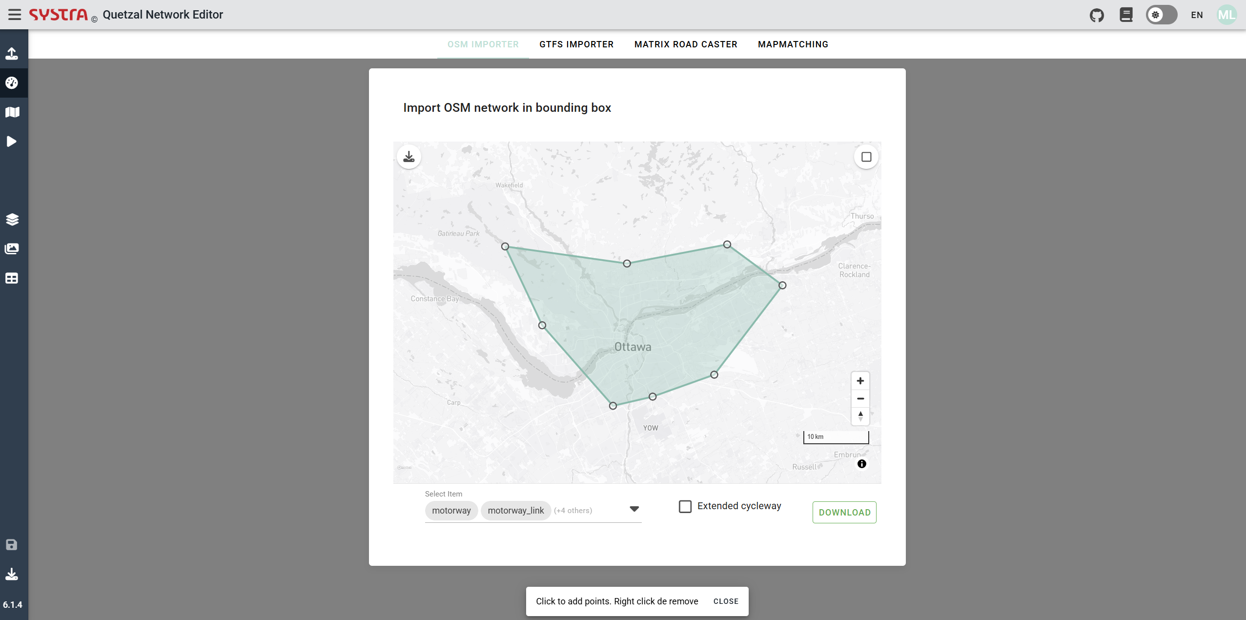
It is also possible to choose to use another polygon by importing a GeoJSON file projected in EPSG 4326 (the geometry must be a polygon), for that you need to click on the icon shown in the next picture.
![]()
Road links selection
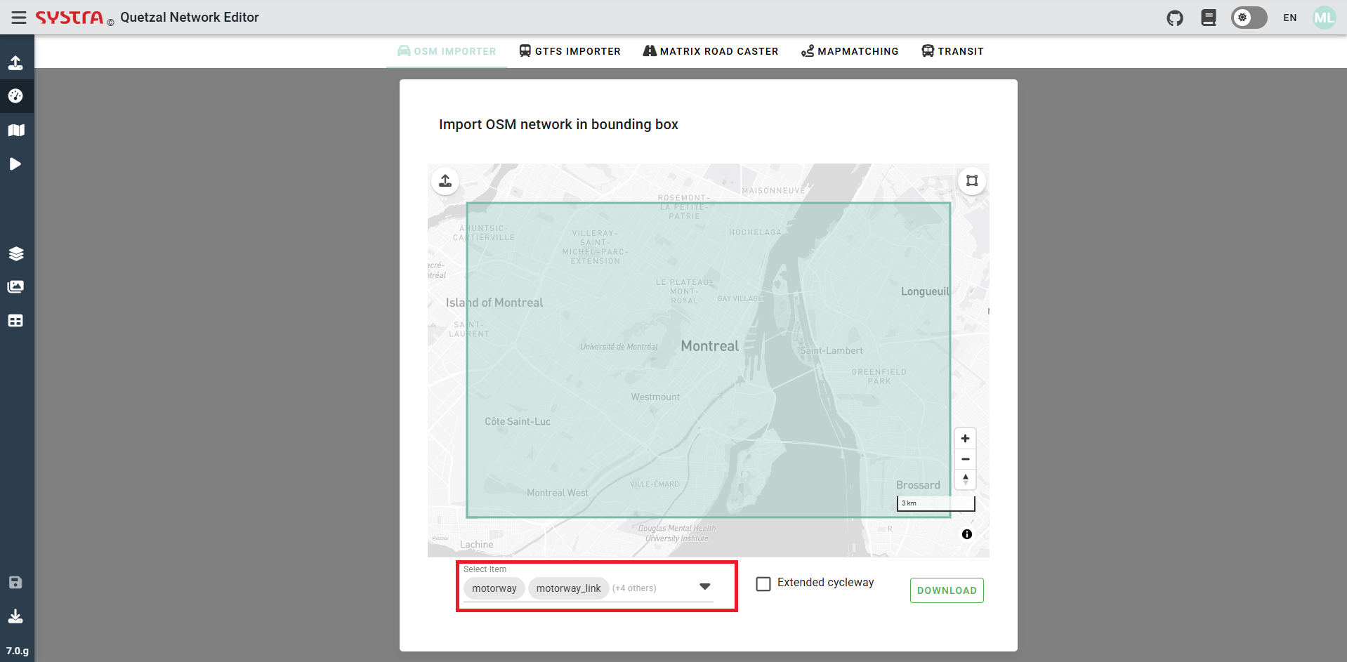
It is possible to choose which kind of road links (motorway, primary, secondary, residential) are going to be downloaded from OSM. To do so, you need to select the type of link you want displayed in the list 'selected item' shown in the next picture. Some of the types of road links are pre-selected, but can be unselected if needed.
Extended cycleway
The information about the bike network on the road link comme by default as 3 columns ["yes","no","shared"], if the option extended cycleway is chosen columns are added to give more information about the bike network.
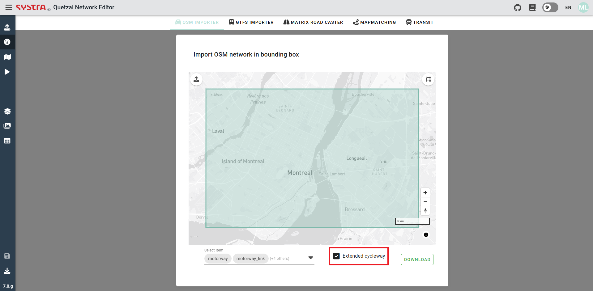
Download the osm network
When all the filter previously explained have been chosen, you have to click on download to create your road network.
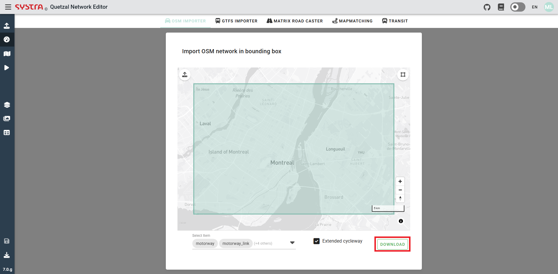
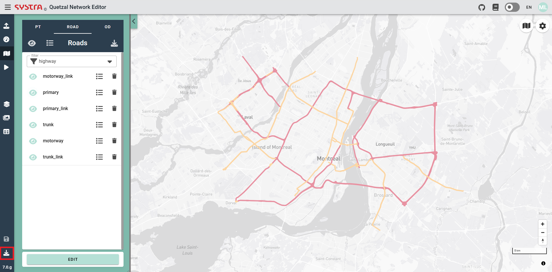
It will automatically display the network with the types of road links chosen in the polygon defined area. It is possible to export this network in a ZIP file by clicking in the pictogram shown in the next picture.
